AGRICULTURE / DECISION WORKSPACE
Make the next crop decision with weather in view.
A connected toolkit for crop and season planning, weather-risk screening, irrigation budgets, damage evidence, and harvest coordination—grounded in clear inputs and honest data limits.
FROM SEASON TO WATER PLAN
Five decisions.
One clearer path.
Start with the decision in front of you. Each module explains the question it answers, the information it needs, and what still requires local validation—so teams know what to do next.
01Choose a crop and season
→ 02Screen upcoming weather stress
→ 03Organise damage evidence
→ 04Coordinate a suitable harvest window
→ 05Audit irrigation and sensor health
THE CROP TOOLKIT
Choose the decision
you need to make.
Open a module for its workflow, example scenarios, required inputs, API request, and capability boundaries.
01 / 05↗Crop & season plannerAVAILABLE · RULE-BASED SCREENING
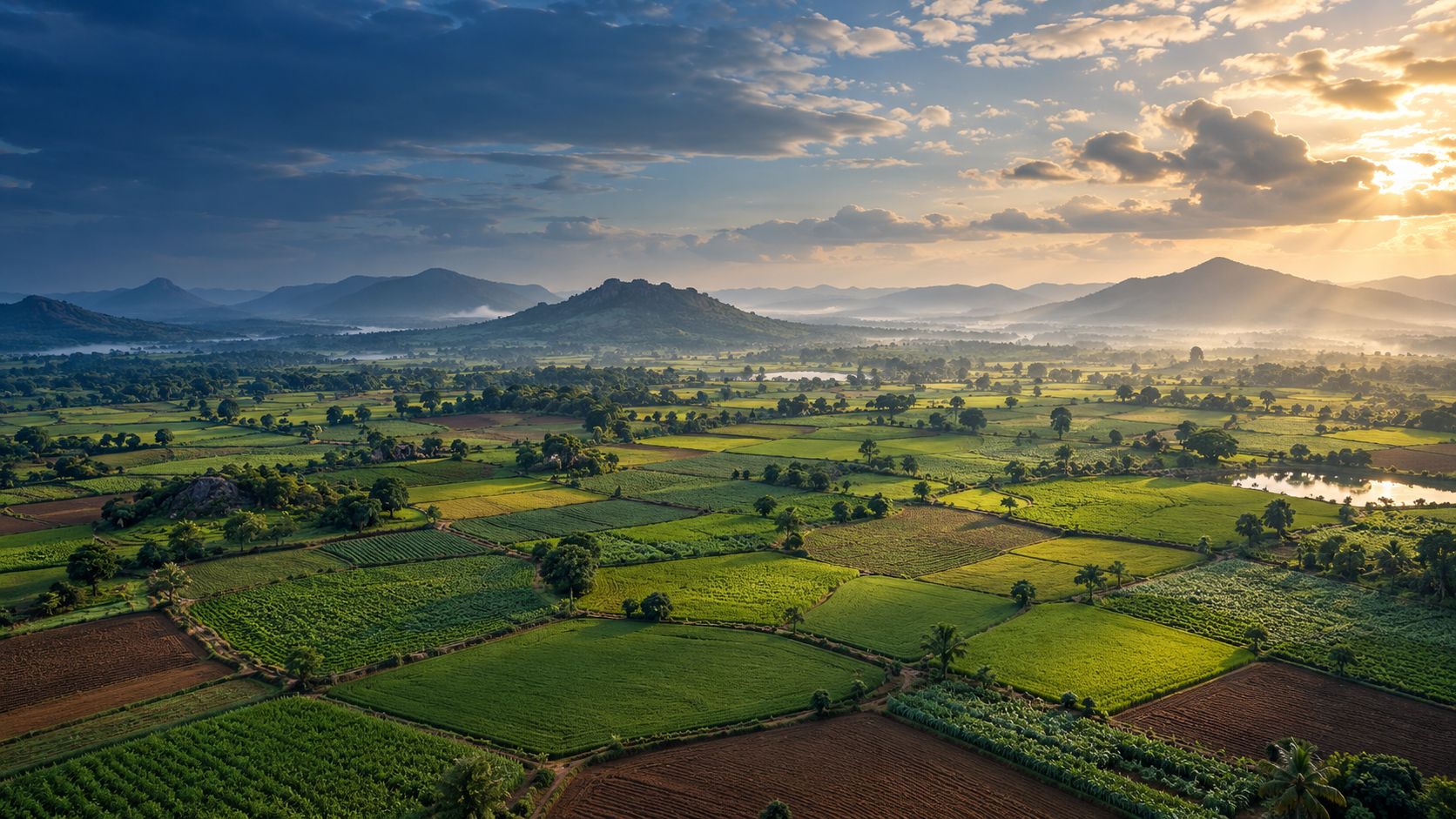
Which crops deserve a closer look for this place and season?
Compare crop profiles against season, temperature, rainfall, soil and terrain context. Rank plausible options, expose missing inputs and build a shortlist that can be validated locally.
KEY INPUTSSeason · Temperature · Seasonal rainfall
Explore this module ↗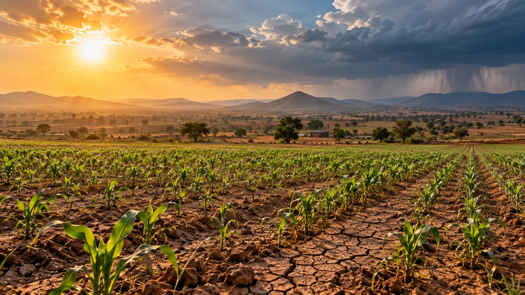 02 / 05↗
Crop risk simulatorAVAILABLE · SCENARIO SCREENING
Which near-term stresses should the team prepare for first?
Explore heat, cold, heavy-rain, strong-wind and dry-soil scenarios. Every factor shows its value, threshold and severity so preparedness can be discussed with evidence.
KEY INPUTSCrop ID · Maximum temperature · Minimum temperature
Explore this module ↗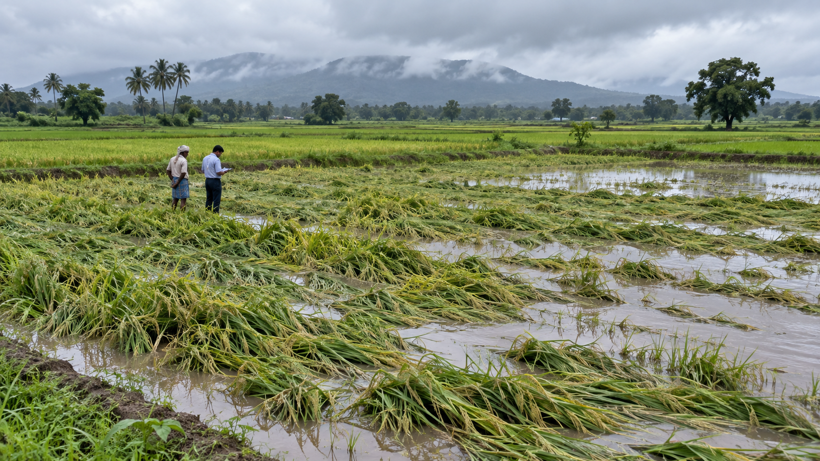 03 / 05↗
Crop damage assessmentDATA CONTRACT READY · MODEL DATA REQUIRED
What evidence is required before a damage percentage can be trusted?
This capability is deliberately gated. See the evidence required for defensible parcel-level damage forecasting and how weather, imagery and field labels must work together.
KEY INPUTSParcel boundary · Crop and stage · Pre-event imagery
Explore this module ↗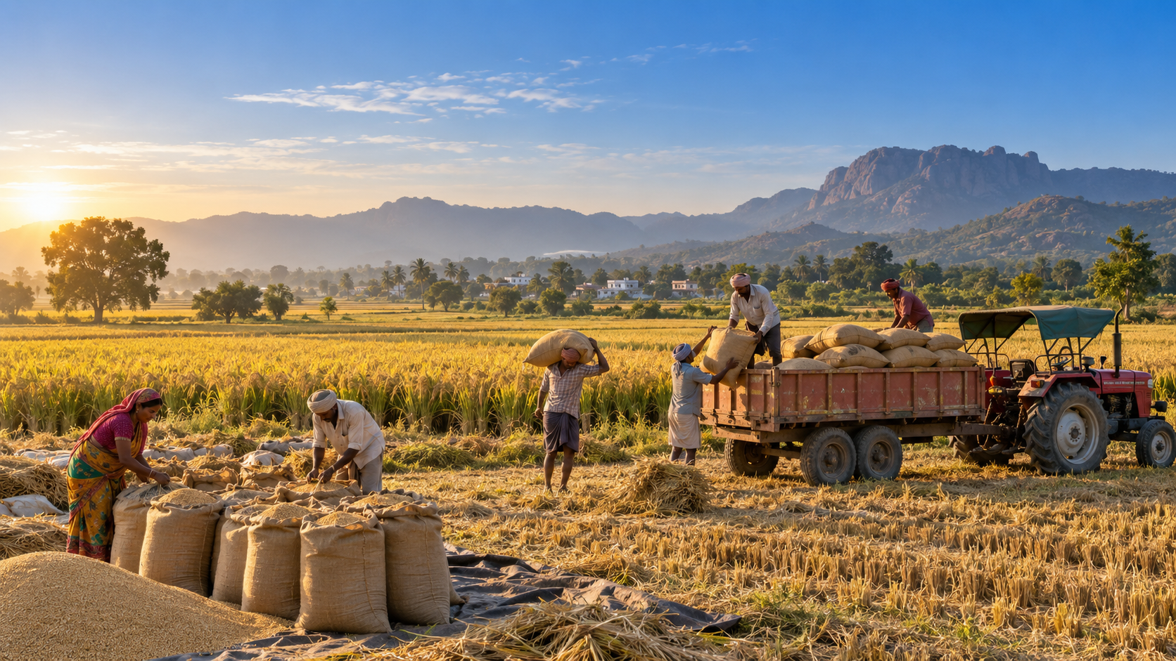 04 / 05↗
FPO harvest plannerPARTIALLY AVAILABLE · WEATHER WINDOWS
Which days look workable—and what must the FPO coordinate next?
Screen up to 30 forecast days for rain and wind suitability while separating weather windows from member aggregation, storage and market logistics.
KEY INPUTSDaily forecast · Crop ID · Member inventory
Explore this module ↗ 05 / 05↗
Farm water budget & sensor coverageAVAILABLE · B2B INTEGRATION
Which irrigation zones are under-monitored, and how does actual water applied compare to crop budget?
Designed for smart irrigation and commercial farm deployments. Reconstruct crop evapotranspiration demand, audit actual valve runtimes vs. budget, expose stale or missing root-zone sensors, and generate auditable water savings proof for farm owners.
KEY INPUTSIrrigation zones & area · Actual water applied (m³) · Soil moisture telemetry
Explore this module ↗ CLEAR ABOUT THE DATA
Regional signals guide attention.
Field evidence guides action.
Satellite and forecast products describe conditions at their own resolution and valid time. They can help teams spot patterns, compare scenarios, and prioritise checks.
Parcel boundaries, crop stage, soil measurements, irrigation, and ground-truth surveys are not inferred when they are missing. Review each module’s data gaps before using a result in the field.
Read the API documentation ↗