Shortlist crop options
See crops whose seasonal profile aligns with supplied conditions on a clear screening scale.
 COMMERCIAL PRODUCT
CROP & SEASON INTELLIGENCE
Compare crop profiles against season, temperature, rainfall, soil and terrain context. Rank plausible options, expose missing inputs and build a shortlist that can be validated locally.
THE DECISION IT SUPPORTS
The planner turns a season and every supplied condition into an explainable ranking. It narrows a broad crop catalogue without claiming that coarse weather data describes an individual plot.
WHY TEAMS USE IT
Each result is designed to narrow a decision, show the inputs behind it, and surface what must still be checked locally.
See crops whose seasonal profile aligns with supplied conditions on a clear screening scale.
Expose absent soil, slope, land-cover or weather inputs before confidence is overstated.
Review crop duration and fit together for irrigation, rotation and harvest discussions.
Give agronomists and farmers a traceable screen instead of a black-box crop label.
FROM REGION TO FIELD
Images illustrate the operational setting. They are not live observations; use source timestamps and local measurements for decisions.
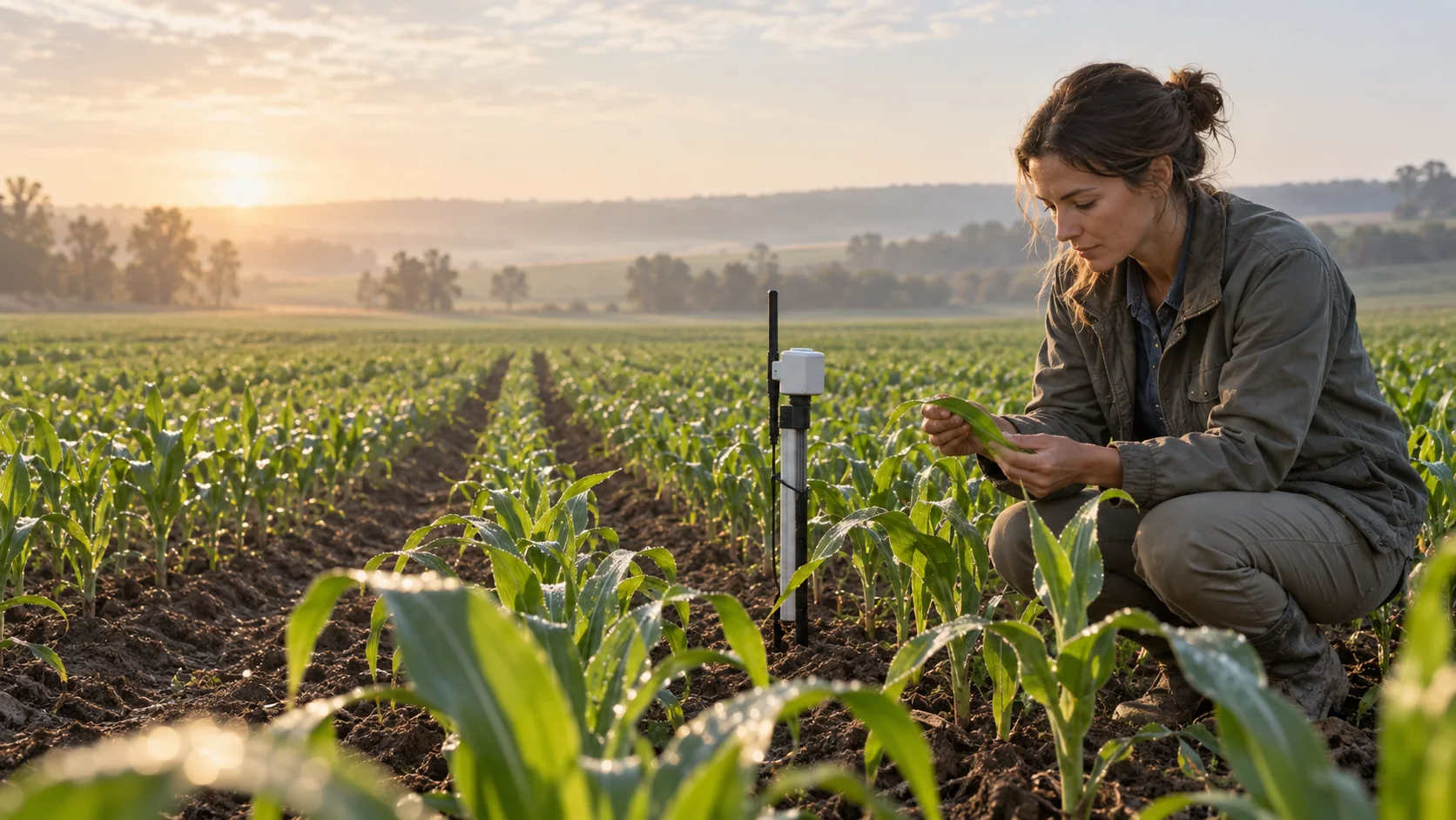 GROUND TRUTH
Variety, management history and crop condition can change the right choice.
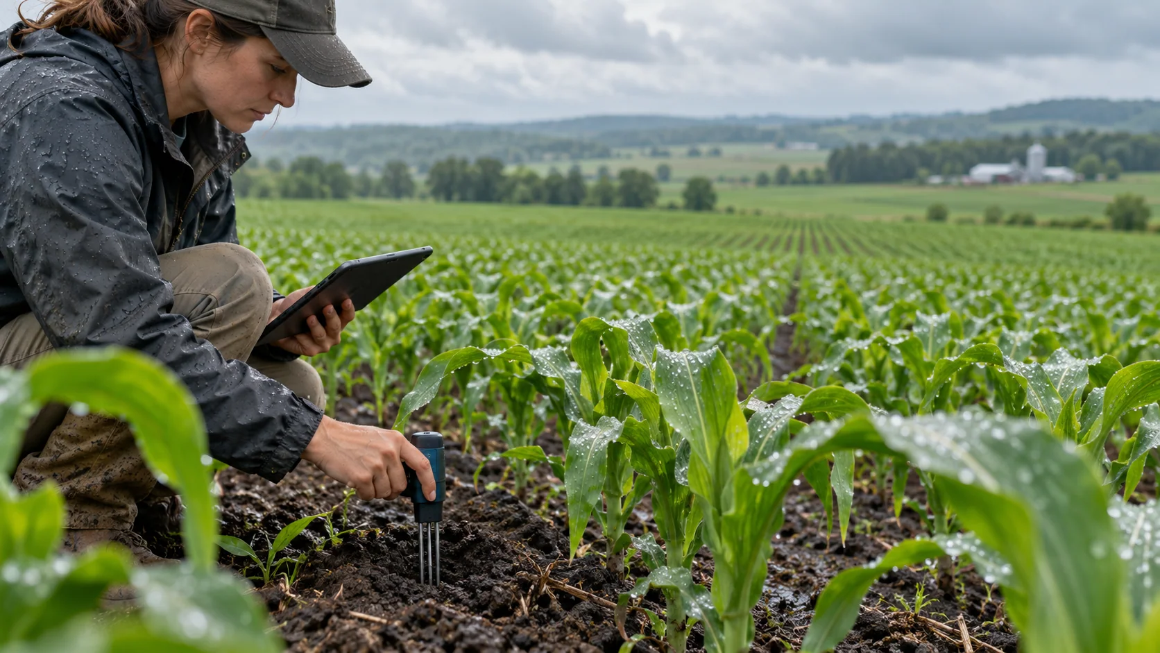 SOIL CONTEXT
Measured pH and moisture improve the screen; unknowns remain explicit.
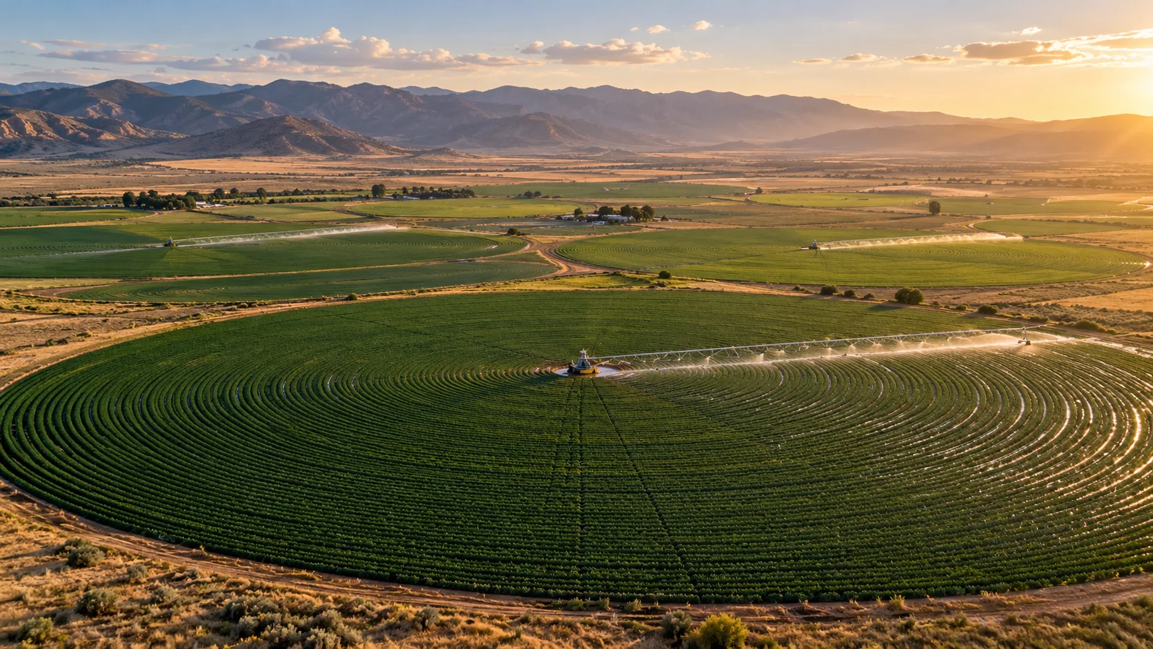
 REGIONAL VIEW
Weather and satellite products add context without pretending to be parcel measurements.
THE INFORMATION STACK
Availability is stated per input. AtmosGrid never converts a missing parcel observation into a made-up field value.
A PRACTICAL WORKFLOW
The workflow keeps model context, field evidence and human approval in their proper places.
Coordinates provide context and are never used to invent field attributes.
Supply measured values and leave unknown values absent so they appear as gaps.
A high score with low confidence is not a final recommendation.
Check variety, irrigation, sowing window, rotation, pests and local advice.
Keep the agronomist or farmer as the final decision owner.
HOW INFORMATION BECOMES USEFUL
These are screening patterns, not automatic instructions. Operational thresholds and local advisories remain authoritative.
FOR PRODUCT TEAMS
The response exposes gaps and limitations so an application can explain confidence instead of hiding it.
/api/v1/agriculture/india/crop-season-plan{
"season": "rabi",
"meanTemperatureC": 20,
"seasonRainfallMm": 500,
"soilPh": 6.8
}decision response{
"recommendations": [
{ "crop": "Wheat", "score": 90,
"confidence": "screening-medium" }
],
"dataGaps": ["terrain.slopePercent",
"landCover.class"]
}CAPABILITY BOUNDARIES
BUILD RESPONSIBLY
Pair AtmosGrid’s regional weather context with local measurements, crop stage, variety guidance and qualified agricultural advice.