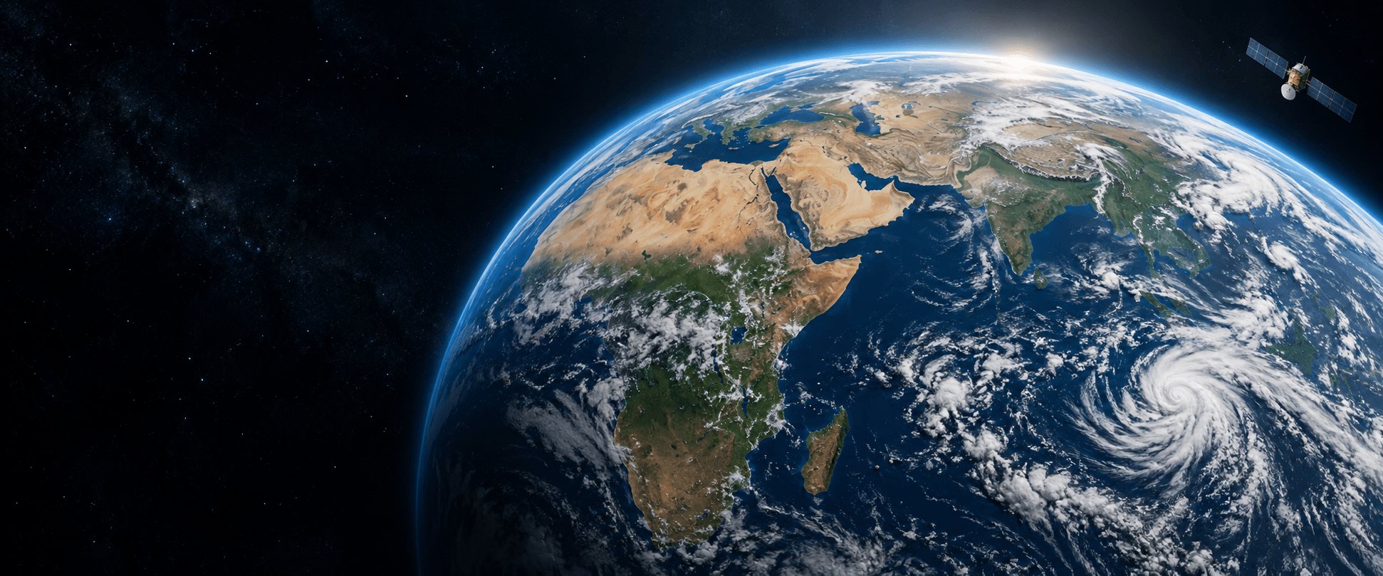
01MAPS & LAYERS
See the conditions.
Explore satellite imagery and weather fields in their geographic context. Look beyond a single number to the patterns around a location.
Explore regional maps COMMERCIAL PRODUCT
ABOUT ATMOSGRID
Weather connects everything.
We help you see the connections.
AtmosGrid is a commercial weather intelligence product, bringing satellite observations and forecast models into clear maps, documented APIs, and industry-focused workspaces.
A wider perspective.
Across land, sea, and sky.
WHY WE BUILD
Satellite images and forecast models reveal a connected world. Turning those signals into something a team can understand and use is a different challenge.
AtmosGrid bridges that gap: from atmospheric data to geographic context, and from geographic context to the tools people work with every day.
See the wider perspectiveWHAT ATMOSGRID DOES
Explore a map. Connect an API.
Bring weather context into a decision.
Explore satellite imagery and weather fields in their geographic context. Look beyond a single number to the patterns around a location.
Explore regional mapsBring weather data and map layers into your own application through documented APIs, with examples that explain what each response contains.
Read the API referenceExplore purpose-built workflows for crop planning, solar operations, and river basins. Understand the inputs and limitations before using an output.
Discover the use casesBUILT AROUND THE WORK
Different industries ask different questions.
The context should meet them there.
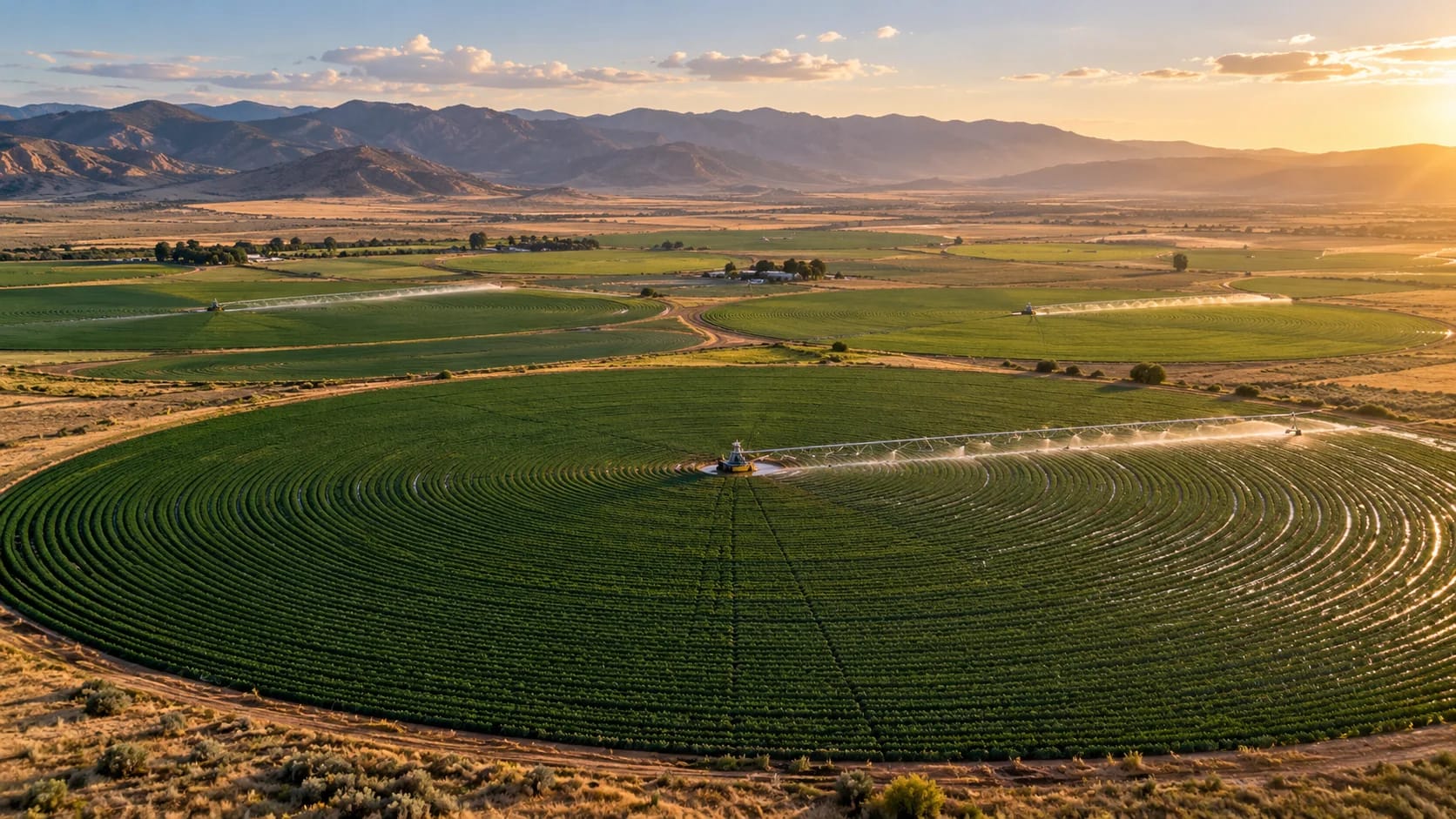 LAND & LIVELIHOODS
Bring rainfall, heat, and water context into season planning, field assessment, and harvest coordination.
Explore the workspace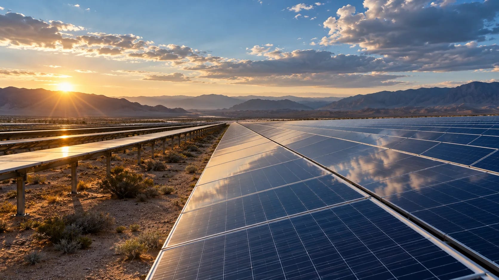 ATMOSPHERE & GENERATION
Explore cloud and dust context, review forecast errors, and understand the evidence behind operational signals.
Explore the workspace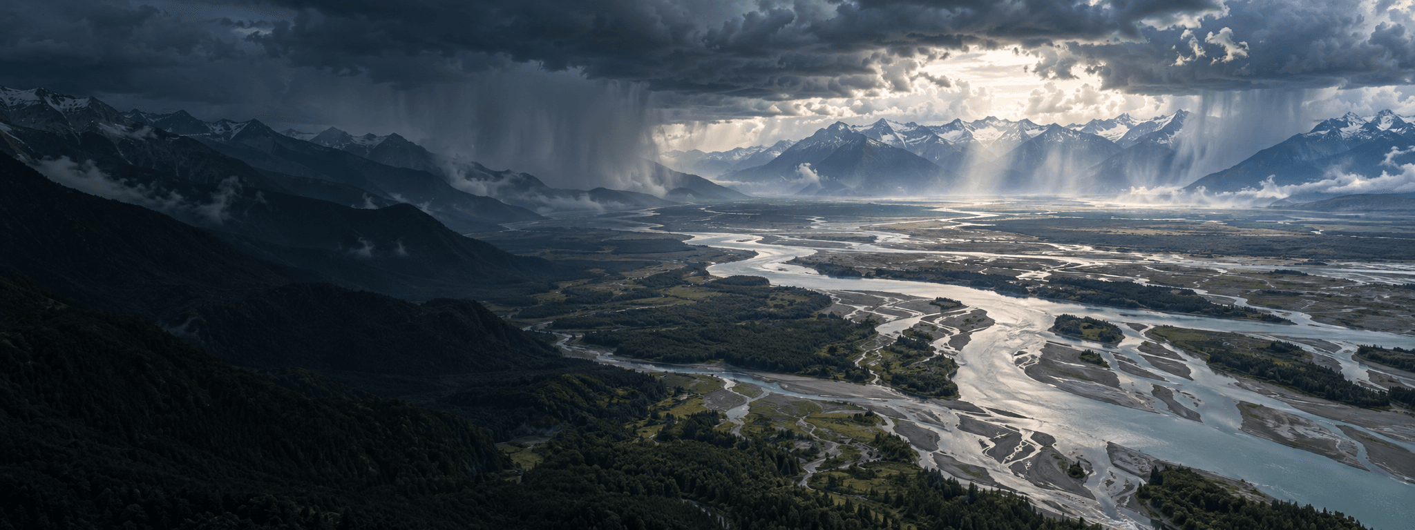 WATER & CATCHMENTS
Connect catchment rainfall, river response, and sensor observations for a more informed hydrology workflow.
Explore the workspaceAlso built for weather context in aviation, marine & ports, cities & infrastructure, and storm monitoring.
HOW WE APPROACH THE DATA
Useful intelligence starts with an honest view of what the data can—and cannot—tell you.
Explore the documentationA weather layer is a starting point, not a complete operational answer. Geography, local observations, and the decision at hand all matter.
Source, units, timestamps, and coverage help you interpret a result. Observations and forecasts should be understood on their own terms.
Missing data is not zero. Coverage and update times vary, and industry workflows may require site inputs, calibration, and local validation.
REGIONAL PERSPECTIVE
Explore workspaces for the Americas, India & South Asia, the Middle East, Ukraine, Eastern Europe, and Wider Europe. Published layers and source availability vary by region.
Explore coverageLET’S BUILD WITH CONTEXT
Tell us about your region, your application, and the decision you want to support. Let’s explore the data and integration that fit.