AtmosGrid — Planetary IntelligenceCOMMERCIAL PRODUCT
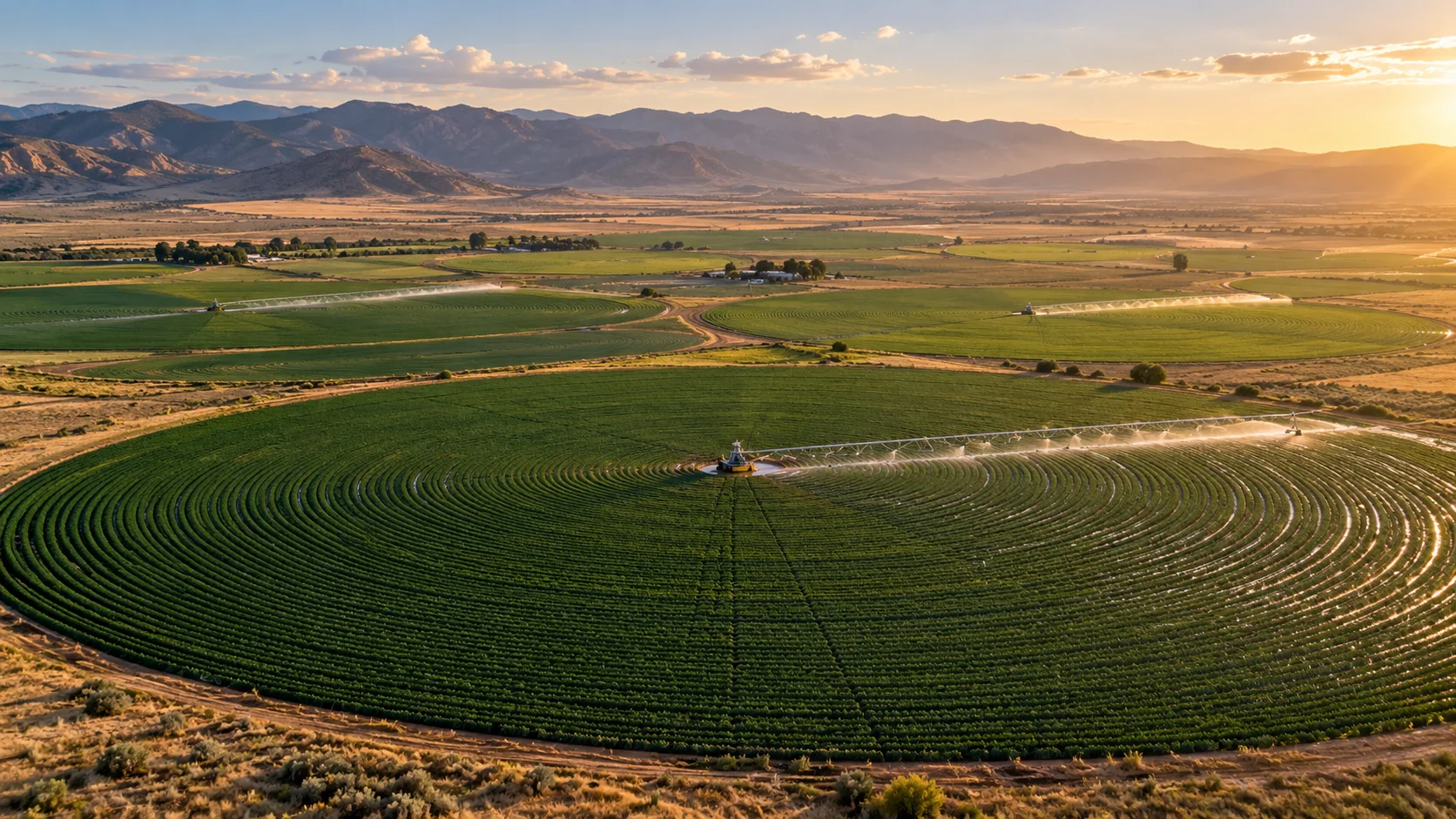
Precision drip-irrigated orchard in an arid agricultural landscape
← All crop tools

PRECISION WATER & SENSOR INTELLIGENCE

Audit farm water budgets and sensor health — zone by zone.

Designed for smart irrigation and commercial farm deployments. Reconstruct crop evapotranspiration demand, audit actual valve runtimes vs. budget, expose stale or missing root-zone sensors, and generate auditable water savings proof for farm owners.

AVAILABLE · B2B INTEGRATIONSee how it works ↓
Illustrative agriculture imagery

THE DECISION IT SUPPORTS

Which irrigation zones are under-monitored, and how does actual water applied compare to crop budget?

Precision irrigation operations use automated valves and scheduling models. This module adds independent atmospheric verification by auditing whether applied water matches physical crop demand (ETc), flagging sensor degradation or dropouts, identifying which zones need hardware expansion, and producing certified savings evidence only where flow meters verify it.

Built for

  • Smart irrigation platform operators
  • Farm automation and agritech teams
  • Commercial date & citrus estates
  • Agricultural water regulators and sustainability auditors

WHY TEAMS USE IT

Turn broad data into a clearer next step.

Each result is designed to narrow a decision, show the inputs behind it, and surface what must still be checked locally.

01

Identify hardware expansion zones

Expose which zones lack in-situ sensors so agritech providers can justify new probe deployments to farm owners.

02

Flag stale and dead sensors

Detect battery failure or sensor transmission dropouts before moisture stress damages crops.

03

Audit valve application vs. budget

Compare metered m³ applied against Hargreaves-Samani crop ET demand to isolate over-watering.

04

Certify customer water savings

Provide verifiable water and cost savings reports backed by inline meter telemetry and baseline audits.

FROM REGION TO FIELD

See where each signal fits.

Images illustrate the operational setting. They are not live observations; use source timestamps and local measurements for decisions.
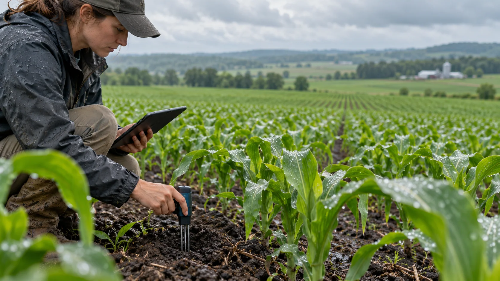
Audit root-zone sensor trustworthinessSENSOR AUDIT

Audit root-zone sensor trustworthiness

Track battery, transmission freshness and distinguish monitored zones from unmonitored ones.

Balance crop ET demand vs applied volumeWATER BUDGET

Balance crop ET demand vs applied volume

FAO-56 reference evapotranspiration parameterized with UAE solar and thermal conditions.
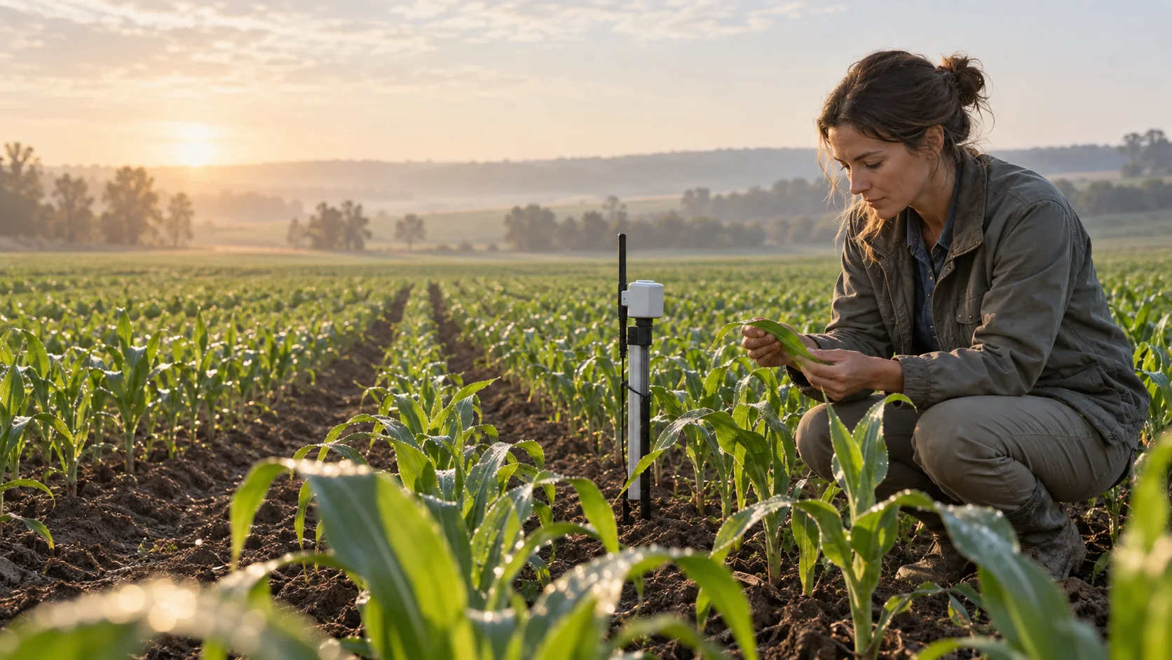
Verifiable water savings reportingCUSTOMER PROOF

Verifiable water savings reporting

Report water savings only where inline flow meters and documented baselines support them.

THE INFORMATION STACK

What goes in—and what it helps explain.

Availability is stated per input. AtmosGrid never converts a missing parcel observation into a made-up field value.

INFORMATIONSOURCEHOW IT IS USEDSTATUS
01Irrigation zones & areaFarm GIS / irrigation controllerDefines zone boundaries, crop type, and emitter efficiency.REQUIRED
02Actual water applied (m³)Inline flow meters / valve runtimesEvaluates actual water application against crop demand.CLIENT INPUT
03Soil moisture telemetryIn-situ root-zone probe sensorsValidates root-zone depletion; audit classifies sensor freshness.PARTIAL / OPTIONAL
04Regional atmospheric ET₀AtmosGrid GFS solar & thermal fieldsProvides reference evapotranspiration baseline parameterized for arid climates.ATMO GRID CORE
05Baseline water history (m³)Historical farm utility bills or metersEnables verifiable customer savings and ROI audit calculations.CLIENT INPUT

A PRACTICAL WORKFLOW

From input to reviewable decision.

The workflow keeps model context, field evidence and human approval in their proper places.

  1. 01

    Ingest zone & crop telemetry

    Load zone boundaries, crop stage (Kc), irrigation type, and current sensor status from the farm platform.

  2. 02

    Calculate atmospheric water budget

    AtmosGrid computes ET₀ and net crop demand using regional solar radiation and temperature.

  3. 03

    Audit sensor freshness tier

    Each zone is tagged as trustworthy (<12h), stale (12–48h), or unmonitored.

  4. 04

    Review application variance

    Detect over-irrigation (>+25%) or under-irrigation (<-25%) against the physical crop budget.

  5. 05

    Export customer ROI proof

    Generate an auditable water savings certificate in m³ and currency for estate management.

HOW INFORMATION BECOMES USEFUL

Examples of decisions it can inform.

These are screening patterns, not automatic instructions. Operational thresholds and local advisories remain authoritative.

SCENARIO 01

Sensor transmission drops during heatwave

Signal
Sensor tagged "stale" (>36h without update); zone flagged as over-irrigating.
Useful action
Trigger immediate maintenance dispatch and switch automated valves to weather-fallback mode.
Check before acting
Do not shut off valve completely in arid summer conditions.
SCENARIO 02

Zone with high water use has no probe

Signal
Unmonitored zone consumes 40% of total farm water without root-zone feedback.
Useful action
Hardware recommendation: Deploy 2 new multi-depth soil moisture probes in this zone.
Check before acting
Regional satellite model cannot replace physical soil telemetry.
SCENARIO 03

Farm manager requests water savings audit

Signal
Metered application is 18% below baseline, verified by inline flow meters.
Useful action
Issue Audit-Verified Water Savings Report showing documented cubic meters and cost saved.
Check before acting
Report must state "Estimated" if flow meters are uncertified.

FOR PRODUCT TEAMS

A transparent API contract.

The response exposes gaps and limitations so an application can explain confidence instead of hiding it.

POST/api/v1/agriculture/uae/water-budget

Example request

{
  "farm_id": "estate-al-ain-01",
  "period_start_utc": "2026-03-01T00:00:00Z",
  "period_end_utc": "2026-03-31T23:59:59Z",
  "zones": [{
    "zone_id": "z1", "name": "Date Palms East",
    "crop_type": "date_palm", "area_hectares": 6.0,
    "irrigation_system": "drip",
    "water_applied_m3": 3840,
    "sensor": {
      "installed": true, "sensor_id": "VW-101",
      "last_reading_utc": "2026-03-31T20:00:00Z",
      "root_zone_moisture_pct": 28.5
    }
  }]
}
JSONdecision response

Example response

{
  "farm_id": "estate-al-ain-01",
  "summary": {
    "sensor_coverage": {
      "trustworthy_zones": 1,
      "stale_zones": 0,
      "unmonitored_zones": 0
    },
    "water_totals": {
      "total_recommended_m3": 3750.2,
      "total_applied_m3": 3840.0,
      "net_variance_m3": 89.8
    }
  },
  "irrigation_automation_integration": {
    "valve_automation_feedback": "Adjust valve timers to align with 3,750 m³ budget."
  }
}

CAPABILITY BOUNDARIES

Useful now. Honest about what comes next.

Supported now

  • FAO-56 ET₀ & crop ETc water budget engine
  • Sensor coverage & staleness detection per zone
  • Actual vs. recommended water application variance
  • Certified vs. estimated customer savings audit
  • Pre-configured commercial estate pilot dataset for demonstration

Additional data required

  • Certified inline flow meters for audit-verified savings claims
  • Calibrated root-zone soil probes for ground moisture tracking
  • Farm boundary polygons and irrigation zone geometry
  • Accurate planting date and crop variety records

BUILD RESPONSIBLY

Use the result to focus attention—not replace field judgment.

Pair AtmosGrid’s regional weather context with local measurements, crop stage, variety guidance and qualified agricultural advice.

Read the API documentation ↗Open the India viewer ↗Explore all crop tools ↗