
WEATHER INTELLIGENCE FOR OPERATIONS
Built around the work
your teams need to do.
Every industry sees weather differently. Explore practical ways to combine satellite observations, forecast fields, and map layers in the tools your teams already use.
 01
Aviation
What weather conditions could affect the operation next?
Bring satellite observations and forecast fields into one operational view of airport conditions, en-route weather, and changing regional patterns.
Explore use cases ↗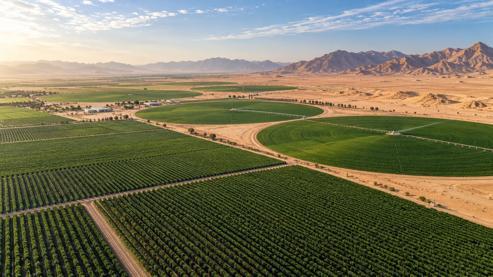 02
Agriculture
Which fields need attention, and when?
Combine rainfall, heat, soil moisture, and wind to build field-monitoring tools for farms, irrigation teams, and agricultural services.
Explore use cases ↗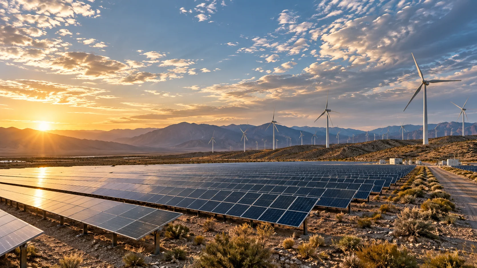 03
Energy
How could changing weather affect generation and field work?
Connect cloud, radiation, wind, temperature, and marine conditions to renewable-generation monitoring and energy operations products.
Explore use cases ↗ 04
Cities & infrastructure
Where are weather conditions changing across the network?
Bring heat, rainfall, wind, and humidity into city, utility, transport, and infrastructure dashboards with consistent regional coverage.
Explore use cases ↗ 05
Marine & ports
What conditions are developing across the route or work area?
Bring wave, wind, precipitation, and satellite context into port operations, offshore planning, and coastal monitoring applications.
Explore use cases ↗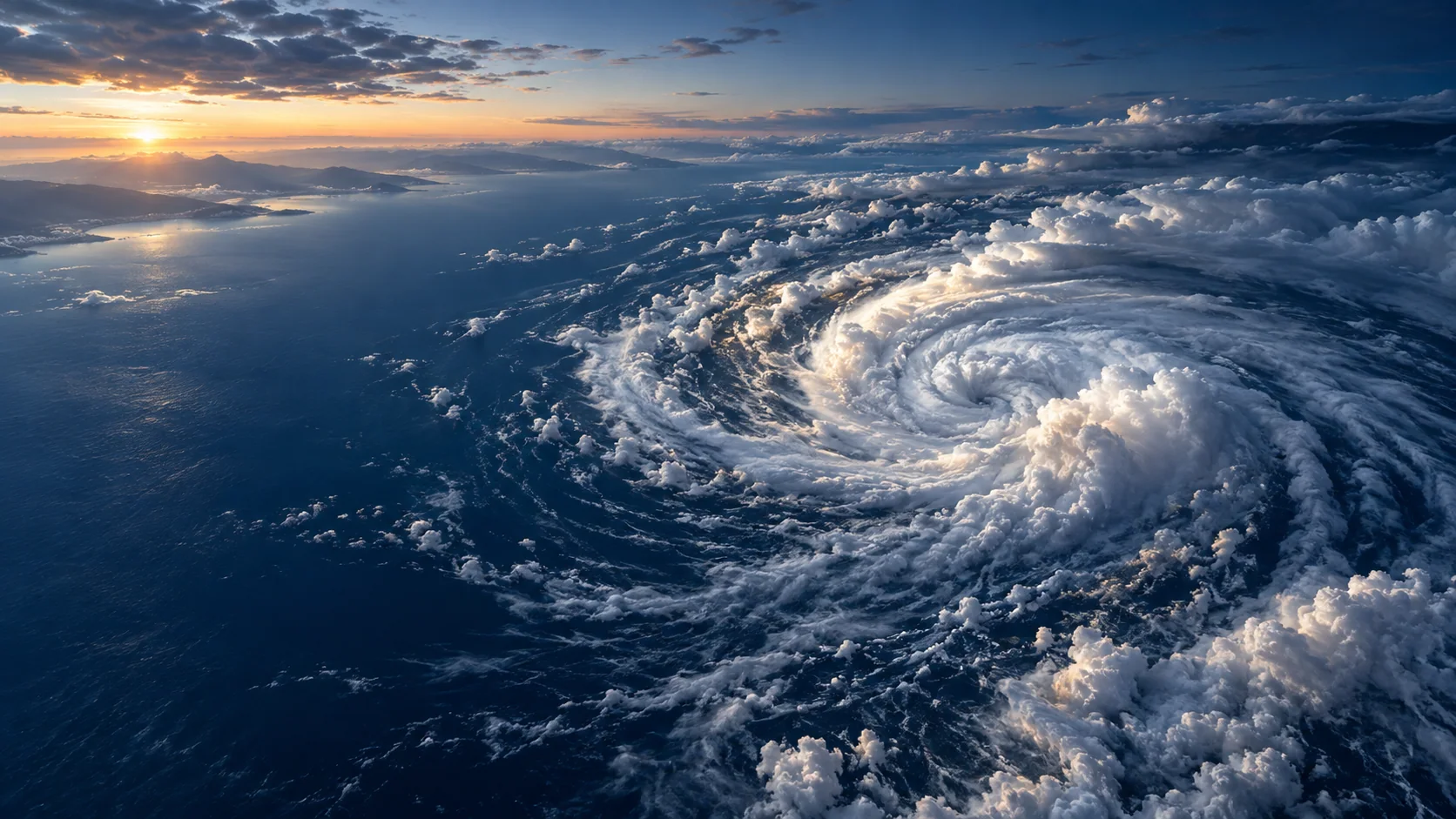 06
Storm monitoring
How is the storm system evolving, and where is it moving?
Combine geostationary imagery, lightning observations, precipitation estimates, and forecasts for a richer view of developing weather systems.
Explore use cases ↗START WITH THE DATA