Prevent false siren alarms
Filter out ultrasonic bounce artifacts and debris snag spikes before they trigger municipal alarms.
 COMMERCIAL PRODUCT

TELEMETRY QUALITY ASSURANCE
Real-time screening for stale telemetry packets, ultrasonic bounce anomalies, rapid jump artifacts, and spatial rainfall radar blind spots before inputs reach sirens, downstream digital twins, or emergency dashboards.
THE DECISION IT SUPPORTS
River sensors face battery drops, debris entanglement, turbulent surface reflections, and transmission lag. This API evaluates reading freshness, physical rate-of-change plausibility, acoustic signal-to-noise ratio, and neighboring gauge consistency to assign each sensor a confidence tier.
WHY TEAMS USE IT
Each result is designed to narrow a decision, show the inputs behind it, and surface what must still be checked locally.
Filter out ultrasonic bounce artifacts and debris snag spikes before they trigger municipal alarms.
Flag sensors with decaying battery voltages, weak SNR, or stale packet transmissions.
Compare paired upstream-downstream gauges to detect unphysical water level discrepancies.
Provide a single machine-readable confidence tier (trusted, degraded, anomaly) for every telemetry stream.
FROM REGION TO FIELD
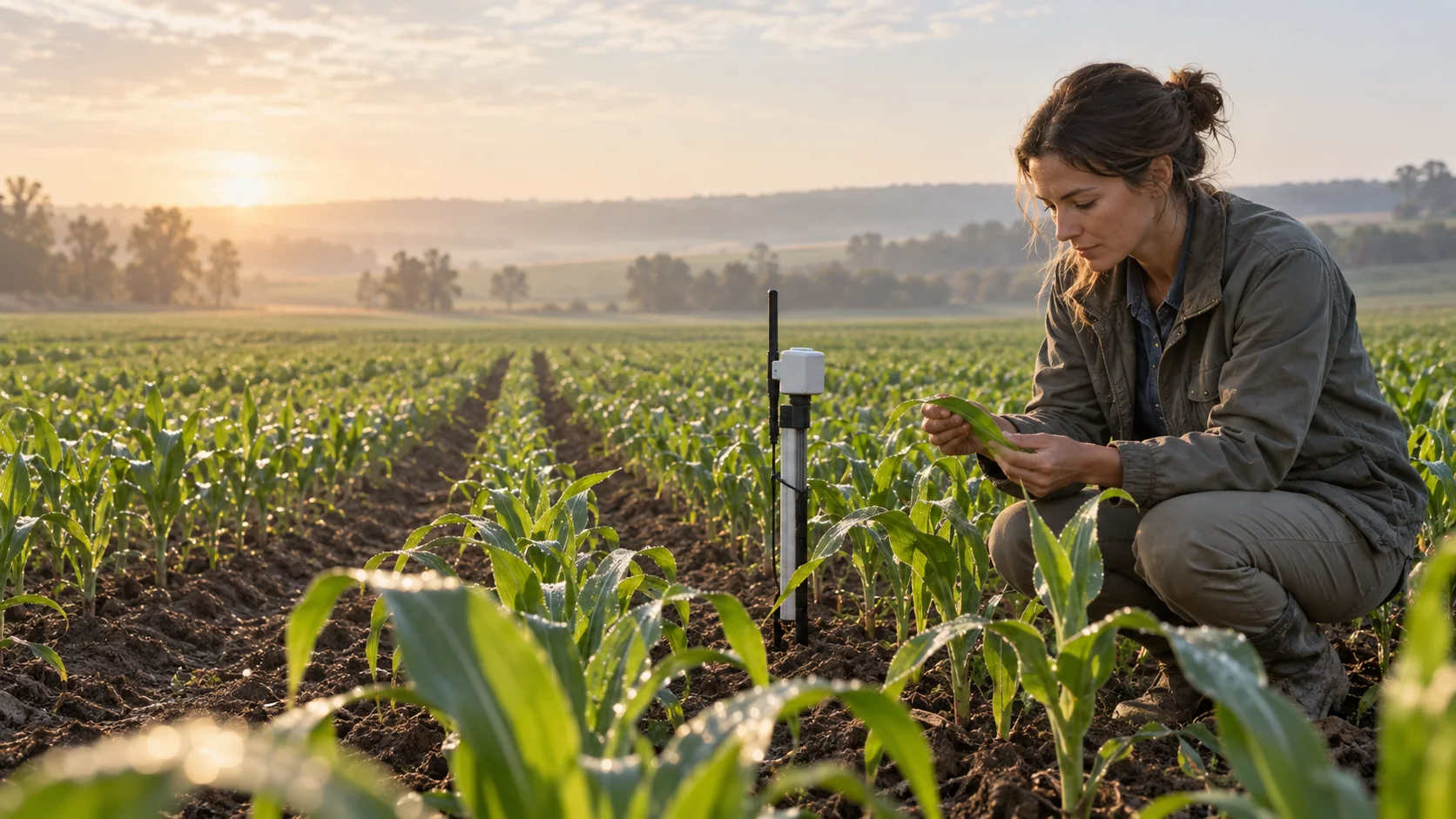
Images illustrate the operational setting. They are not live observations; use source timestamps and local measurements for decisions.
TELEMETRY FRESHNESSPrevents sirens from sounding or emergency gates from moving based on out-of-date telemetry.
 ANOMALY DETECTION
Isolates sudden jump artifacts caused by sensor turbulence, acoustic surface bounce, or snagged debris.
 RADAR COVERAGE SCREENING
Flags terrain blockages where radar underestimates rainfall in deep mountain headwaters.
THE INFORMATION STACK
Availability is stated per input. AtmosGrid never converts a missing parcel observation into a made-up field value.
A PRACTICAL WORKFLOW
The workflow keeps model context, field evidence and human approval in their proper places.
Receive raw water level, flow velocity, and diagnostic packets from field sensors.
Flag any station where data packets are older than the 45-minute operational limit.
Check for ultrasonic jumps (>0.5m in 5 min), flatline freezes, or signal-to-noise degradation.
Return clear confidence classifications (trusted, warning, degraded, rejected) to downstream systems.
HOW INFORMATION BECOMES USEFUL
These are screening patterns, not automatic instructions. Operational thresholds and local advisories remain authoritative.
FOR PRODUCT TEAMS
The response exposes gaps and limitations so an application can explain confidence instead of hiding it.
/api/v1/hydrology/basin/sensor-confidence{
"catchment_id": "basin-wye-severn-upper",
"sensor_id": "gauge-bc-03"
}decision response{
"catchment_id": "basin-wye-severn-upper",
"evaluated_at_utc": "2026-10-02T19:00:00Z",
"network_health_summary": {
"total_sensors_monitored": 5,
"trusted_sensors": 3,
"flagged_sensors": 2,
"network_data_integrity_pct": 60.0
},
"sensor_audit_records": [
{
"sensor_id": "gauge-us-01",
"name": "Highland Bridge Gauge",
"last_reading_age_minutes": 8,
"confidence_tier": "trusted",
"health_score": 98
},
{
"sensor_id": "gauge-bc-03",
"name": "Black Creek Inflow",
"last_reading_age_minutes": 58,
"flags": ["STALE_TELEMETRY_PACKET_EXCEEDED_45MIN", "LOW_BATTERY_WARNING"],
"confidence_tier": "degraded",
"health_score": 52
}
],
"downstream_pipeline_guidance": "Do not pass gauge-bc-03 raw spikes into automated siren trigger loops without confirmation."
}CAPABILITY BOUNDARIES
BUILD RESPONSIBLY
Pair AtmosGrid’s regional weather context with local measurements, crop stage, variety guidance and qualified agricultural advice.