Gain 3 to 8 hours of advance warning
Anticipate flood crests hours before upstream runoff gathers at the downstream river sensor.
 COMMERCIAL PRODUCT

CALIBRATED HYDROLOGICAL FORECASTING
A calibrated estimate of how rainfall in different upstream sub-catchments translates to later stage rises and discharge at river sensors. Features time-to-peak lag, crest surge height, and an explicit 90% confidence uncertainty envelope.
THE DECISION IT SUPPORTS
Using antecedent soil moisture conditions, tributary rainfall intensity, and historical sensor calibration data, AtmosGrid models downstream stage rise and lag time. The response includes an explicit uncertainty band and discloses the historical hydrographs behind the calibration.
WHY TEAMS USE IT
Each result is designed to narrow a decision, show the inputs behind it, and surface what must still be checked locally.
Anticipate flood crests hours before upstream runoff gathers at the downstream river sensor.
Act on the 90% confidence interval [min, max] rather than an over-confident single point estimate.
Know which upstream branch is responsible for the surge to target sluice gates, weir operations, and flood diversions.
Clearly flags when a model is preliminary vs fully calibrated against historical storm events.
FROM REGION TO FIELD
Images illustrate the operational setting. They are not live observations; use source timestamps and local measurements for decisions.
HYDROGRAPH FORECASTTranslates upstream rainfall into a downstream stage hydrograph and lag time with explicit uncertainty.
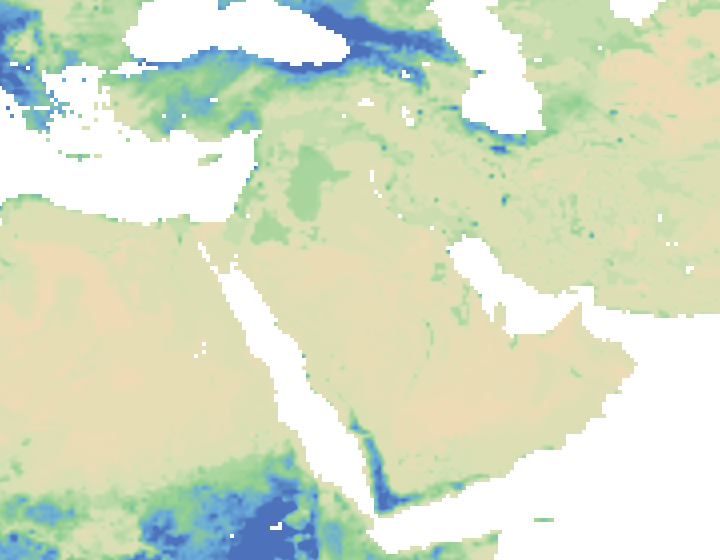 ANTECEDENT SOIL MOISTURE
Soil moisture governs whether 30mm of rain creates a minor swell or a dangerous crest surge.
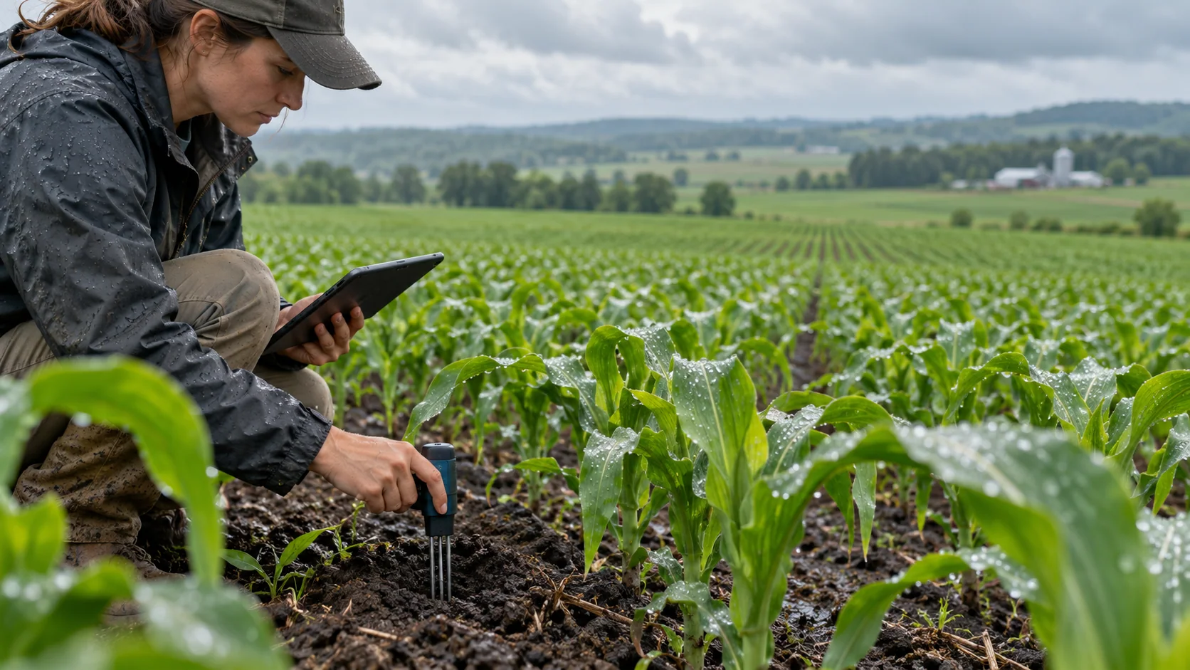 SENSOR CALIBRATION EVIDENCE
Hydrograph lag and stage response are calibrated against historical storm sensor hydrographs.
THE INFORMATION STACK
Availability is stated per input. AtmosGrid never converts a missing parcel observation into a made-up field value.
A PRACTICAL WORKFLOW
The workflow keeps model context, field evidence and human approval in their proper places.
Obtain current river level telemetry and antecedent soil moisture saturation index.
Feed rolling 3h and 6h rainfall totals from the Catchment Rainfall API into the response model.
Simulate stage delta, time-to-peak lag hours, and 90% confidence uncertainty envelope.
Classify response against advisory, warning, and severe flood stage limits with tributary attribution.
HOW INFORMATION BECOMES USEFUL
These are screening patterns, not automatic instructions. Operational thresholds and local advisories remain authoritative.
FOR PRODUCT TEAMS
The response exposes gaps and limitations so an application can explain confidence instead of hiding it.
/api/v1/hydrology/basin/river-response{
"sensor_id": "gauge-us-01",
"catchment_id": "basin-wye-severn-upper",
"current_stage_m": 2.15,
"upstream_rainfall_3h_mm": 18.5,
"upstream_rainfall_6h_mm": 32.0,
"soil_saturation_pct": 78,
"historical_events_calibrated": 18
}decision response{
"sensor_id": "gauge-us-01",
"catchment_id": "basin-wye-severn-upper",
"calibration_status": {
"historical_sensor_events_used": 18,
"calibration_tier": "fully_calibrated"
},
"current_state": {
"measured_stage_m": 2.15,
"soil_saturation_pct": 78,
"antecedent_moisture_classification": "wet"
},
"surge_forecast": {
"estimated_crest_stage_m": 3.42,
"crest_90pct_uncertainty_interval_m": [3.18, 3.66],
"expected_stage_delta_m": 1.27,
"time_to_peak_hours": 5.2,
"alert_classification": "warning"
},
"tributary_surge_attribution": [
{ "tributary": "South Branch Ridge", "contribution_pct": 46, "status": "surging_fast_runoff" },
{ "tributary": "Upper Gorge Headwaters", "contribution_pct": 34, "status": "elevated_inflow" }
],
"decision_recommendation": {
"siren_activation_readiness": "standby_crews_active",
"action": "Issue downstream flood advisory and prepare sluice gate diversion."
}
}CAPABILITY BOUNDARIES
BUILD RESPONSIBLY
Pair AtmosGrid’s regional weather context with local measurements, crop stage, variety guidance and qualified agricultural advice.